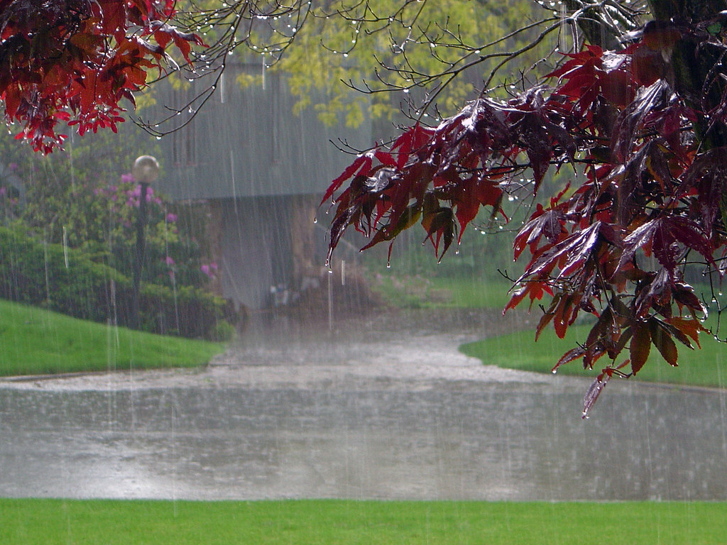
Long Island, get ready for a big storm from Sunday into early Monday.
Coming in from the southwest with rain and gusty winds, it may cause flooding and power outages.
AccuWeather Meteorologist Grady Gilman said, “High winds in the lower part of the atmosphere may be dragged down to ground and sea surface level in the form of powerful gusts” with a narrow zone on Eastern Long Island possibly getting gusts between 60 and 70 mph.
With sustained winds of 25 to 35 mph possible Sunday evening into early Monday morning, a few trees, power lines and tree limbs could be downed, the NWS said. Plus, minor to locally moderate coastal flooding is possible in vulnerable communities along the western Great South Bay with Monday morning’s high tide.
The main flooding threat from up to 2 inches of rain will be in areas of poor drainage.
However, if the storm moves more slowly than expected, there’s a greater chance of urban and small stream flash flooding, particularly if heavy rain lingers near the time of high tide early Monday morning across western Long Island, the NWS said. In addition, the threat of moderate coastal flooding would increase as onshore winds linger till the time of high tide.
This will all be happening as temperatures hover in the 50s for a second day, only to drop as a cold front moves in behind the storm.


